 |
| Water Flume on Cascade Creek |
The plan was to ride up hotel draw road to the Colorado Trail south bound to Salt Creek heading over Rico and back over. However a fire on west side of the mountains lead to a closure of Colorado trail. So dusted off ride I planned to in 2016, but got rained out. So the new plan was start at the bottom of Engineer trail and ride the road down to Cascade creek and follow this up to Graysill, Colorado trail to White Creek and back down on Engineer. It was to be only 24 miles. How hard could it be?
 |
| First Major Creek Crossing of the day. |
 |
| Made it across, but it got deep and fast at the end. |
Cascade Creek was fun ride. Started out as graded road then to jeep road then closed jeep road and deep creek crossing.
 |
| Crossing 2 - Much easier |
 |
| Crossing 3 |
 |
| Perfect spot for snack break |
From here it turned in to more creek crossings and then junction with Graysill. Man that climb was a bear. Steep, rocky HAB.
 |
| Graysill - Steeper, rougher and tougher than it looks |
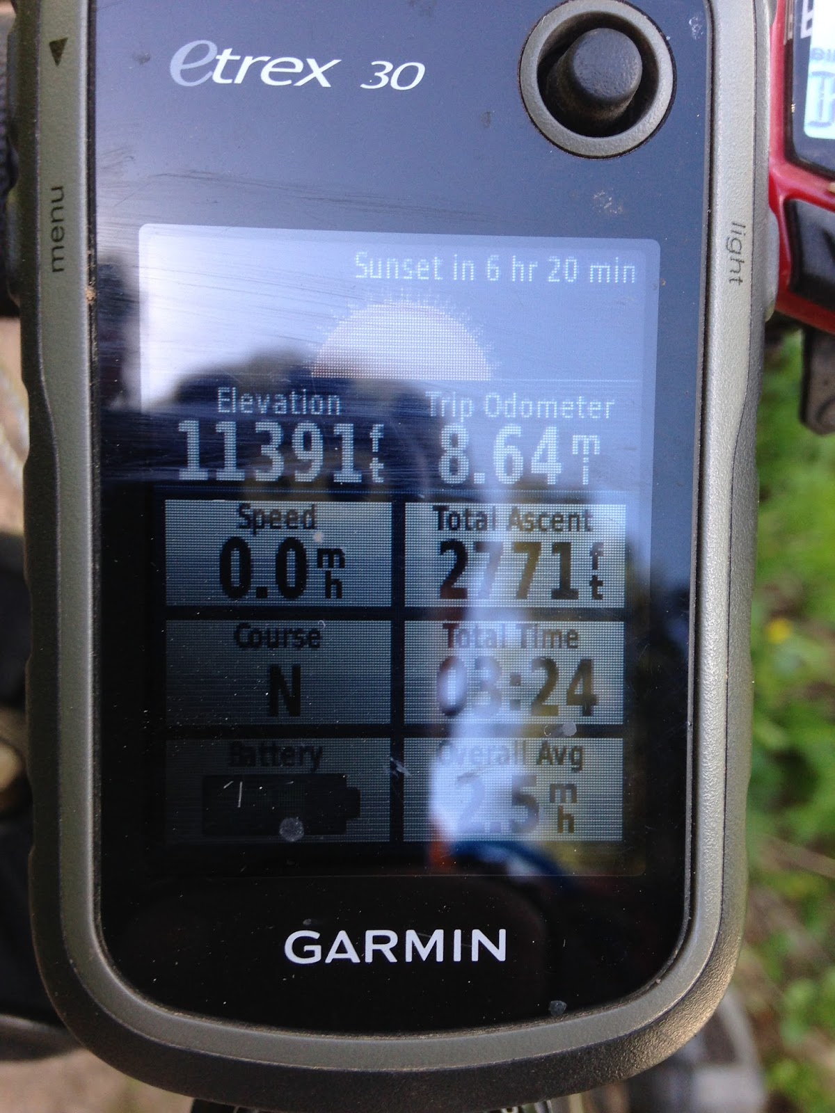
As I crossed over 11k feet I started hitting patches of un-melted snow. Then was Colorado trail and more snow crossings downed trees an amazing views. The views made up for all the slow going and HAB. I got to engineer and trail and was tired. My short 24 mile ride as 5 hours in and I still had 8 mile to go. Well as I crested 11,800 feet and the point I hiked to last year the trail improved and descended. What was left with was long fast flowing descent right back to the car.
 |
| Snow Yeah... This was not going to be the last of it. |
 |
| Lots of flowing water from snow melt |
 |
| What a view |
 |
| Junction of Colorado trail and White Creek |
 |
| Engineer Mountain from White Creek Trail |
 |
| High point of the ride. Along Engineer |
 |
| What can you say really? |
 |
| That is Hwy 550 down there. Its all downhill from here |
Wednesday called for a quick morning ride and dragged out the Solo again since my rear wheel needed a fresh tape job. I hit up the “test tracks” area for short spin. Again trails where steep and narrow and for the most part smooth. Eventually I found my way to Hogsback and steep climb from the west side. Climb as in HABing up near a vertical wall. Again the views were amazing and the descent down the east side? Crazy steep, loose and narrow. Not narrow as in trees, but narrow as if fall off the side if you mess up. I rode quite a bit of this, but did walk a spot or two.
 |
| Wait the trail goes up there? |
 |
| I guess it does and it is alot steeper than it looks |
 |
| At there is a good view of Durango |
 |
| Time to go down the spine. Again steeper than it looks |
Thursday was bit of a break. I had to get some work in so did that all day and then hit up some trails east of Durango from the Sale Barn parking area. These were fun trails with some steep climbs, but nothing too crazy. I also was able to loop back to the area of death mud from Monday and finish off the trails I wanted to right, but had to cut short.
 |
| My office on Thursday and Friday |


No comments:
Post a Comment